Premium Framed Print > Architecture > Country > Italy > Rome
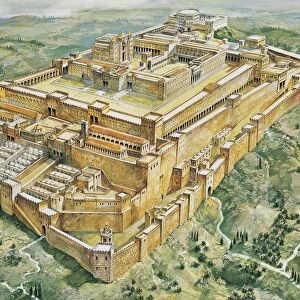
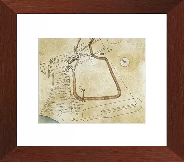
Premium Framed Print : Map of the forums and the Palatine Hill, drawing


![]()
Framed Photos from Universal Images Group (UIG)
Map of the forums and the Palatine Hill, drawing
Cartography - Roman Civilization - Italy - Latium region - Rome. Map of forum and Palatine Hill. Drawing
Universal Images Group (UIG) manages distribution for many leading specialist agencies worldwide
Media ID 9515491
Aerial View Architectural Feature Capital Cities Compass Rose Drawing Palatine Hill Rome Texture Public Space
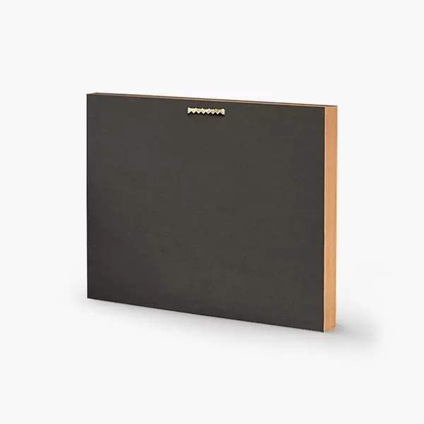
14"x16" Premium Frame
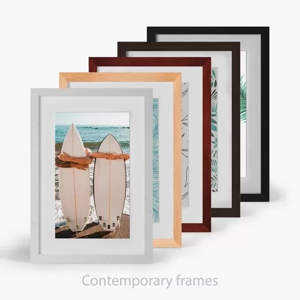
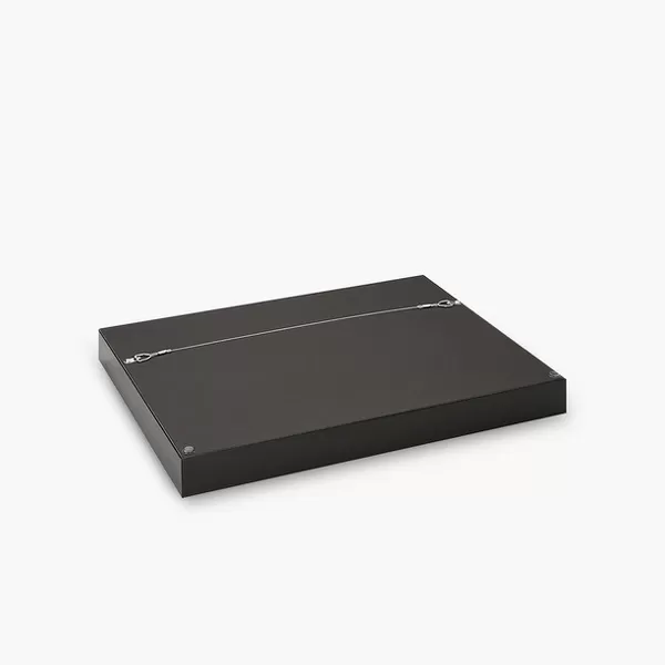
Contemporary style Premium Wooden Frame with 8"x10" Print. Complete with 2" White Mat and 1.25" thick MDF frame. Printed on 260 gsm premium paper. Glazed with shatter proof UV coated acrylic glass. Backing is paper covered backing with rubber bumpers. Supplied ready to hang with a pre-installed sawtooth/wire hanger. Care Instructions: Spot clean with a damp cloth. Securely packaged in a clear plastic bag and envelope in a reinforced cardboard shipper
FSC Real Wood Frame and Double Mounted with White Conservation Mountboard - Professionally Made and Ready to Hang
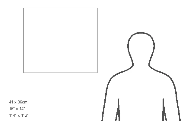
Estimated Image Size (if not cropped) is 25.4cm x 20.3cm (10" x 8")
Estimated Product Size is 40.6cm x 35.6cm (16" x 14")
These are individually made so all sizes are approximate
Artwork printed orientated as per the preview above, with landscape (horizontal) orientation to match the source image.
FEATURES IN THESE COLLECTIONS
> Aerial Photography
> Related Images
> Architecture
> Country
> Italy
> Related Images
> Architecture
> Country
> Italy
> Rome
> Architecture
> Drawings
> Architecture
> Styles
> Roman Architecture
> Arts
> Artists
> R
> Roman Roman
> Europe
> Italy
> Aerial Views
> Europe
> Italy
> Lazio
> Rome
> Universal Images Group (UIG)
> Art
> Archeology
EDITORS COMMENTS
This print showcases a meticulously detailed map of the forums and the Palatine Hill, offering us a glimpse into the ancient Roman civilization in Italy's Latium region. The drawing, created with great artistry and precision, transports us back in time to explore the architectural wonders of Rome. The texture of this print adds an authentic touch, evoking a sense of history and heritage. Its horizontal composition allows for an aerial view that captures the grandeur and scale of these magnificent structures. With no people present, we are left to marvel at the remnants of a bygone era. The map itself is a testament to the skillful craftmanship of cartography during this period. A compass rose elegantly marks cardinal directions, guiding our imagination through this historical landscape. From public spaces to capital cities, every detail has been thoughtfully illustrated. As we gaze upon this artwork, it serves as a reminder that history is not just confined within textbooks but can be visually experienced through such masterpieces. It invites us to reflect on how civilizations have shaped our world today and appreciate their lasting contributions
MADE IN THE USA
Safe Shipping with 30 Day Money Back Guarantee
FREE PERSONALISATION*
We are proud to offer a range of customisation features including Personalised Captions, Color Filters and Picture Zoom Tools
SECURE PAYMENTS
We happily accept a wide range of payment options so you can pay for the things you need in the way that is most convenient for you
* Options may vary by product and licensing agreement. Zoomed Pictures can be adjusted in the Cart.