Premium Framed Print > Africa > Botswana > Maps
Premium Framed Print : Reference Map of Map of South Africa


![]()
Framed Photos from Fine Art Storehouse
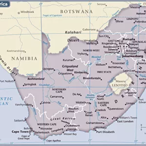
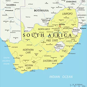
Reference Map of Map of South Africa
South Africa is located in southern Africa. South Africa is bordered by the Atlantic Ocean and the Indian Ocean, Lesotho and eSwatini (formerly Swaziland) in the eastern portion of South Africa, and Namibia, Botswana, Zimbabwe, and Mozambique to the north
Unleash your creativity and transform your space into a visual masterpiece!
Media ID 20251055
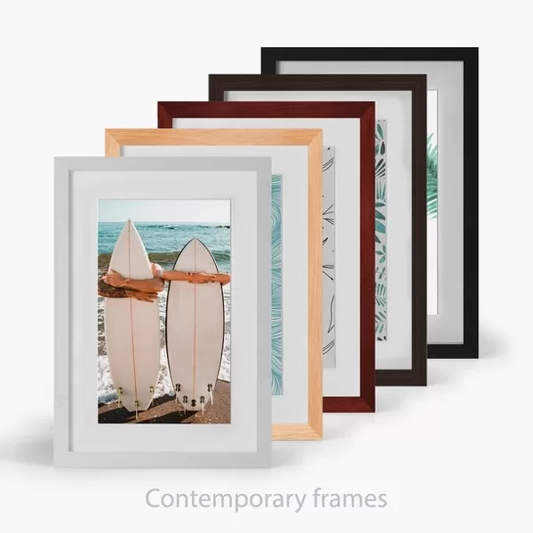
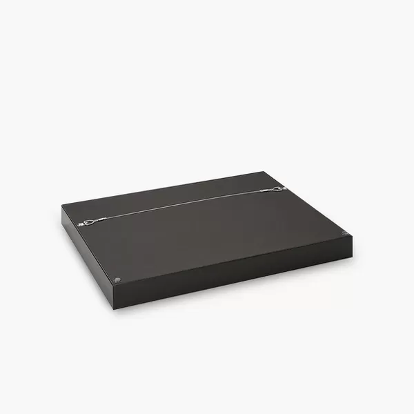
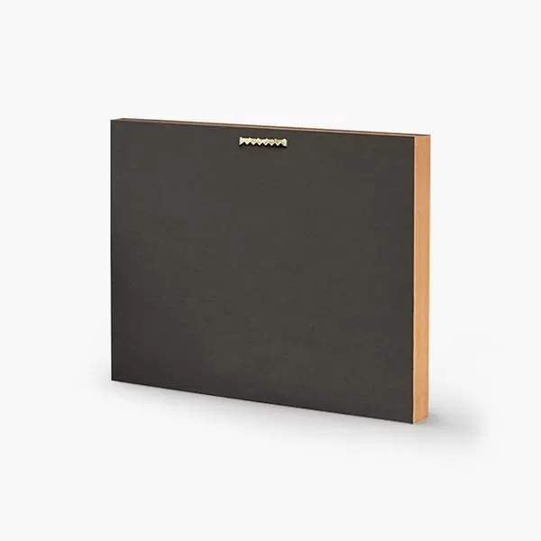
16"x16" Premium Frame
Contemporary style Premium Wooden Frame with 10"x10" Print. Complete with 2" White Mat and 1.25" thick MDF frame. Printed on 260 gsm premium paper. Glazed with shatter proof UV coated acrylic glass. Backing is paper covered backing with rubber bumpers. Supplied ready to hang with a pre-installed sawtooth/wire hanger. Care Instructions: Spot clean with a damp cloth. Securely packaged in a clear plastic bag and envelope in a reinforced cardboard shipper
FSC Real Wood Frame and Double Mounted with White Conservation Mountboard - Professionally Made and Ready to Hang
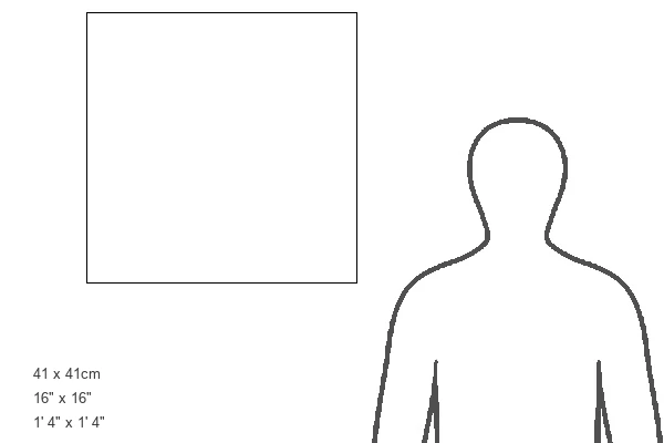
Estimated Image Size (if not cropped) is 25.4cm x 25.4cm (10" x 10")
Estimated Product Size is 40.6cm x 40.6cm (16" x 16")
These are individually made so all sizes are approximate
Artwork printed orientated as per the preview above, with landscape (horizontal) or portrait (vertical) orientation to match the source image.
FEATURES IN THESE COLLECTIONS
> Africa
> Botswana
> Related Images
> Africa
> Lesotho
> Related Images
> Africa
> Mozambique
> Maps
> Africa
> Mozambique
> Related Images
> Africa
> Namibia
> Related Images
> Africa
> Related Images
> Africa
> South Africa
> Maps
EDITORS COMMENTS
This print showcases a meticulously detailed reference map of South Africa, offering a comprehensive glimpse into the diverse landscapes and geographical features that define this remarkable country. Located in southern Africa, South Africa is bordered by both the Atlantic Ocean and the Indian Ocean, creating an awe-inspiring coastline that stretches for miles on end. The map highlights not only the country's extensive shoreline but also its neighboring countries. To the east, Lesotho and eSwatini (formerly Swaziland) form a natural boundary with South Africa, while to the north lie Namibia, Botswana, Zimbabwe, and Mozambique. These nations contribute to South Africa's rich cultural tapestry through shared histories and influences. Every inch of this artful depiction has been thoughtfully crafted to showcase topographical details such as mountain ranges, rivers, lakes, and national parks. It invites viewers to embark on a visual journey across vast plains dotted with vibrant cities like Johannesburg or Cape Town; traverse breathtaking mountainous regions such as Drakensberg; or explore iconic landmarks like Kruger National Park. Whether you are an avid traveler seeking inspiration for your next adventure or simply intrigued by cartography's beauty and precision—this exquisite print from Fine Art Storehouse is sure to captivate your imagination. Its intricate details will transport you directly into South Africa's enchanting world without ever leaving your home.
MADE IN THE USA
Safe Shipping with 30 Day Money Back Guarantee
FREE PERSONALISATION*
We are proud to offer a range of customisation features including Personalised Captions, Color Filters and Picture Zoom Tools
SECURE PAYMENTS
We happily accept a wide range of payment options so you can pay for the things you need in the way that is most convenient for you
* Options may vary by product and licensing agreement. Zoomed Pictures can be adjusted in the Cart.