Home > Europe > France > Canton > Landes
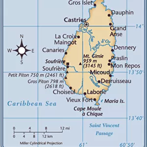
1758 Bellin Map Of Saint Lucia Sainte Lucie West Indies

![]()
Wall Art and Photo Gifts from Universal Images Group (UIG)
1758 Bellin Map Of Saint Lucia Sainte Lucie West Indies
1758, Bellin Map of Saint Lucia, Sainte Lucie, West Indies
Universal Images Group (UIG) manages distribution for many leading specialist agencies worldwide
Media ID 38551989
© Artokoloro Quint Lox Limited
1758 West Indies Antique Map Latitude Longitude Mappa Mundi Old Antique Plan Old Antique View Ols Antique Map Rare Old Maps Topo
FEATURES IN THESE COLLECTIONS
> Europe
> France
> Canton
> Landes
> Historic
> Space exploration
> Maps and Charts
> Early Maps
> Maps and Charts
> Related Images
> Maps and Charts
> World
> North America
> Saint Lucia
> Maps
> North America
> Saint Lucia
> Related Images
> Universal Images Group (UIG)
> History
> Historical Maps
EDITORS COMMENTS
Step back in time to the 18th century with this stunning print of the 1758 Bellin Map of Saint Lucia, Sainte Lucie, West Indies. Created by French cartographer Jacques-Nicolas Bellin, this beautifully illustrated map showcases the island's topography and geography in exquisite detail.
The map is a testament to the art of cartography during a time when exploration and discovery were at its peak. The intricate design features lush forests, towering mountains, and winding rivers that crisscross the island. The illustration also includes notes on latitude and longitude, providing valuable information for navigators and travelers.
This vintage map is not only a fascinating piece of historical significance but also a work of art that evokes a sense of adventure and curiosity. It's easy to imagine explorers poring over this very map as they set sail for unknown territories or plan their journeys across the Caribbean.
Today, this print serves as a nostalgic reminder of our shared human desire to explore and understand our world. Whether you're an history buff, geography enthusiast, or simply someone who appreciates beautiful illustrations, this 1758 Bellin Map of Saint Lucia is sure to captivate your imagination.
MADE IN THE USA
Safe Shipping with 30 Day Money Back Guarantee
FREE PERSONALISATION*
We are proud to offer a range of customisation features including Personalised Captions, Color Filters and Picture Zoom Tools
SECURE PAYMENTS
We happily accept a wide range of payment options so you can pay for the things you need in the way that is most convenient for you
* Options may vary by product and licensing agreement. Zoomed Pictures can be adjusted in the Cart.