Home > Europe > United Kingdom > Scotland > Aberdeenshire > Blackburn
Wakefield WF11 8 Map

![]()
Wall Art and Photo Gifts from Map Marketing
Wakefield WF11 8 Map
Postcode Sector Map of Wakefield WF11 8
Media ID 19980738
Argyle Road Ashley Grove Balmoral Drive Banks Lane Bleasdale Avenue Blenheim Close Chiltern Avenue Cleveland Avenue Common Lane Cotswold Drive Doncaster Road East View Elizabeth Drive Fisher Street Foundry Court Foundry Lane Glebe Lane Grafton Close Grange Close Grove Lane Hampden Close Harewood Close High Street Hill Top Hinton Lane Houghton Avenue Kingsley Avenue Linden Close Low Green Malvern Road Middle Lane Middleton Way Mill View Morley Avenue New Road North View Pentland Avenue Pinfold Close Pontefract Road Pottery Lane Richmond Avenue Sandringham Avenue School Drive Shelley Drive Springfields St Andrews Drive Station Road Stocking Lane Tennyson Close The Nurseries The Square The Wharf Vale Avenue Vale Crescent Wakefield Wellington Place Windsor Drive Wordsworth Drive Ferrybridge Fishergate Knottingley
FEATURES IN THESE COLLECTIONS
> Arts
> Artists
> O
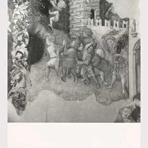
> Elizabeth Olds
> Europe
> United Kingdom
> England
> Cleveland
> Europe
> United Kingdom
> Scotland
> Aberdeenshire
> Blackburn
> Europe
> United Kingdom
> Scotland
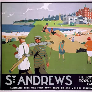
> Fife
> St Andrews
> Europe
> United Kingdom
> Scotland
> West Lothian
> Blackburn
> Map Marketing
> Postcode Sector Maps
> WF - Wakefield
> Maps and Charts
> Related Images
MADE IN THE USA
Safe Shipping with 30 Day Money Back Guarantee
FREE PERSONALISATION*
We are proud to offer a range of customisation features including Personalised Captions, Color Filters and Picture Zoom Tools
SECURE PAYMENTS
We happily accept a wide range of payment options so you can pay for the things you need in the way that is most convenient for you
* Options may vary by product and licensing agreement. Zoomed Pictures can be adjusted in the Cart.