Home > Europe > United Kingdom > England > Herefordshire > Maps
Cherwell OX26 1 Map

![]()
Wall Art and Photo Gifts from Map Marketing
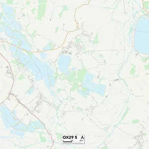
Cherwell OX26 1 Map
Postcode Sector Map of Cherwell OX26 1
Media ID 19977281
Ash Grove Cherwell Chesterton Chestnut Close Green Lane Hereford Close Hexham Road Huntingdon Road Manor Farm Road Newmarket Street Orchard Rise Perth Road Pioneer Way Plumpton Road Pontefract Road Ripon Close Sandown Road Southwell Road Stratford Way The Woodlands Thirsk Road Cartmel Sedgefield
FEATURES IN THESE COLLECTIONS
> Europe
> France
> Canton
> Landes
> Europe
> United Kingdom
> England
> Herefordshire
> Maps
> Map Marketing
> Postcode Sector Maps
> OX - Oxford
> Maps and Charts
> Related Images
MADE IN THE USA
Safe Shipping with 30 Day Money Back Guarantee
FREE PERSONALISATION*
We are proud to offer a range of customisation features including Personalised Captions, Color Filters and Picture Zoom Tools
SECURE PAYMENTS
We happily accept a wide range of payment options so you can pay for the things you need in the way that is most convenient for you
* Options may vary by product and licensing agreement. Zoomed Pictures can be adjusted in the Cart.