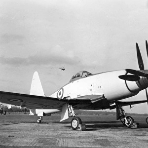
Home > Europe > United Kingdom > England > London > Sights > Carnaby Street
Northumberland NE65 9 Map

![]()
Wall Art and Photo Gifts from Map Marketing
Northumberland NE65 9 Map
Postcode Sector Map of Northumberland NE65 9
Media ID 19974506
Admiral Close Beacon Road Beechcroft Broomhill Burnside Chapel Row Cherry Tree Drive Churchill Way Dairy Court Dene Close Douglas Crescent East View Hardy Close Highfield Kenmore Close Kenmore Drive Kenmore Road Lake Road Lake View Lakeside Drive Main Street Nelson Drive Northumberland Old Park Road Park Road Park View Prospect Close Quarry Avenue Rake Lane Riverside Rochester Drive Sandy Close South Lane South View Springwood Station Road The Avenue The Coppice The Lea The Orchard The Oval The Paddock The Parks The Pines Wansbeck Road Willow Close Woodside Woodside Crescent Beachcroft Coast View Felton Stone Row The Dunes The Peth
FEATURES IN THESE COLLECTIONS
> Arts
> Artists
> F
> John Field
> Arts
> Artists
> F
> John Ford
> Arts
> Artists
> F
> Newton Fielding
> Arts
> Artists
> P
> John Pine
> Arts
> Artists
> W
> John Wood
> Europe
> United Kingdom
> England
> London
> Sights
> Carnaby Street
> Europe
> United Kingdom
> England
> Northumberland
> Acklington
> Europe
> United Kingdom
> England
> Northumberland
> Alnwick
> Europe
> United Kingdom
> England
> Northumberland
> Broomhill
> Europe
> United Kingdom
> England
> Northumberland
> Felton
> Map Marketing
> Postcode Sector Maps
> NE - Newcastle upon Tyne
MADE IN THE USA
Safe Shipping with 30 Day Money Back Guarantee
FREE PERSONALISATION*
We are proud to offer a range of customisation features including Personalised Captions, Color Filters and Picture Zoom Tools
SECURE PAYMENTS
We happily accept a wide range of payment options so you can pay for the things you need in the way that is most convenient for you
* Options may vary by product and licensing agreement. Zoomed Pictures can be adjusted in the Cart.