
Wallace Street Collection
Wallace Street, a name that echoes through various corners of the United Kingdom, holds significance in multiple towns and cities


All Professionally Made to Order for Quick Shipping
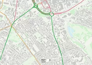
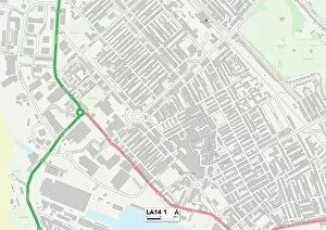
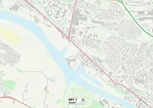
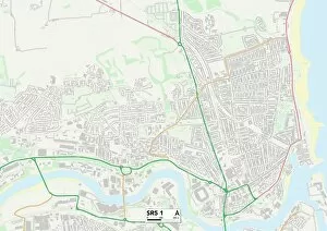
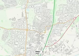
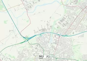
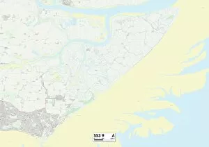
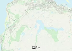
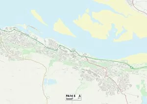
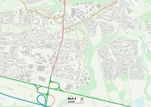
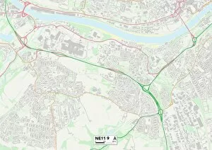
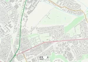
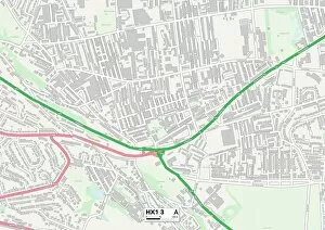
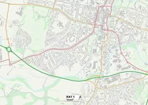
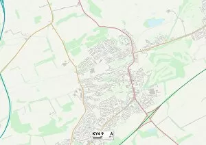
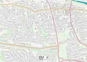
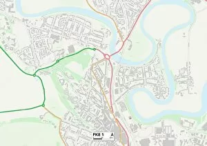
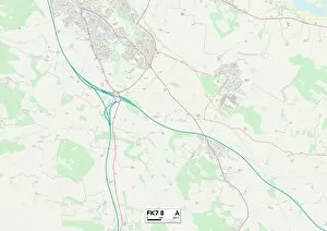
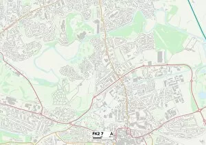
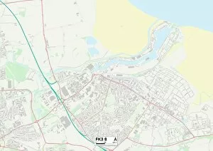
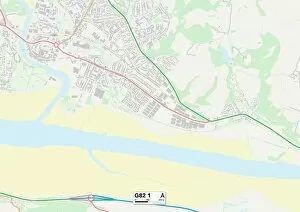
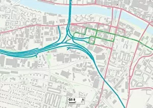
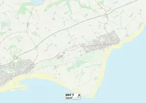
Wallace Street, a name that echoes through various corners of the United Kingdom, holds significance in multiple towns and cities. From Barrow-in-Furness to Newcastle, this street connects communities and weaves tales of diverse cultures. In Barrow-in-Furness, Wallace Street stands as a testament to the town's rich history. As you stroll along its path, you can almost hear whispers of shipbuilding glory that once dominated these shores. The map reveals its location in LA14 1, where locals proudly share stories passed down from generation to generation. Venturing northwards takes us to West Dunbartonshire's G81 1 area. Here lies another incarnation of Wallace Street—a bustling hub where residents gather for daily conversations over steaming cups of tea or hearty meals at local eateries. This vibrant community thrives amidst its picturesque surroundings. Further up the map lies Sunderland's SR5 1 district—home to yet another iteration of Wallace Street. In this part of town, it serves as a lifeline connecting families and friends with schools and shops alike. Children play on sidewalks while parents exchange friendly greetings—an embodiment of unity within diversity. Halton's WA8 6 region also boasts its own slice charm. With rows upon rows of quaint houses lining the road, it exudes an undeniable sense of warmth and familiarity. Neighbors here are more than just acquaintances; they form tight-knit bonds that withstand the test of time. Renfrewshire unveils two distinct locations tied by their shared address: PA3 2 and PA16 9 on the map mark separate chapters in Wallace Street's storybook journey across Scotland’s landscapes. Each neighborhood showcases unique architectural styles while fostering close-knit communities rooted in Scottish heritage. PA14 5 is yet another Renfrewshire gem nestled along our route—a place where tradition meets modernity head-on with grace and elegance.