
Field Lane Collection (#2)
Field Lane is a place that holds historical significance and charm, with its various locations scattered across different parts of the United Kingdom


All Professionally Made to Order for Quick Shipping
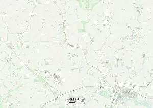
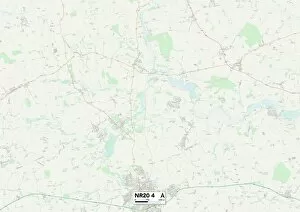
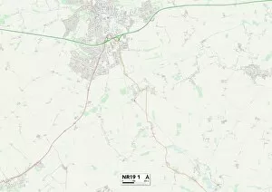
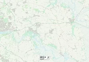
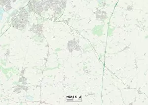
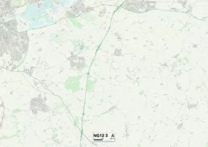
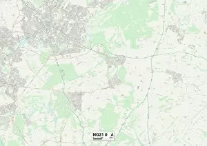
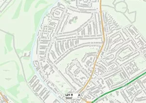
Field Lane is a place that holds historical significance and charm, with its various locations scattered across different parts of the United Kingdom. From North Dorset to Wakefield, York to West Norfolk, and even the picturesque Isle of Wight, it has left its mark on these diverse landscapes. In North Dorset's SP8 5 Map lies a hidden gem called Field Lane. Here, one can immerse themselves in the beauty of nature while exploring this enchanting countryside lane. The surrounding fields offer breathtaking views that will leave you feeling refreshed and rejuvenated. Moving up north to Wakefield's WF2 7 Map, we find another iteration of Field Lane. This bustling area is filled with life and energy as people go about their daily routines. It serves as a hub for locals who gather here for socializing or shopping at nearby establishments. Venturing further northeast to York's YO19 6 Map reveals yet another facet of Field Lane's allure. Surrounded by lush greenery and charming cottages, this idyllic spot offers tranquility away from the hustle and bustle of city life. A perfect destination for those seeking solace in nature's embrace. Heading towards West Norfolk's PE33 9 Map takes us on an adventure through picturesque landscapes dotted with quaint villages along Field Lane. As you stroll down this path, you'll be captivated by the stunning scenery that unfolds before your eyes – rolling hillsides adorned with vibrant wildflowers dancing in the breeze. The Isle of Wight beckons visitors to explore its PO33 1 Map where they will discover yet another incarnation of Field Lane’s magic. With its coastal beauty combined with rural charm, it provides an ideal escape from everyday life – a haven where one can unwind amidst breathtaking seascapes.