
College Road Collection (#2)
"Exploring the Scenic College Road: A Journey Through Diverse Landscapes" Embark on a captivating journey along College Road


All Professionally Made to Order for Quick Shipping
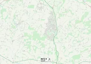
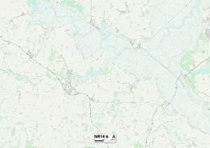
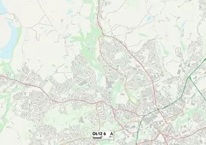
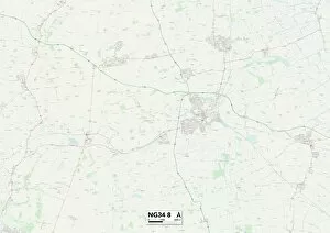
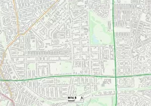
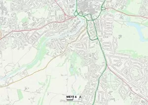
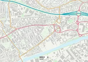
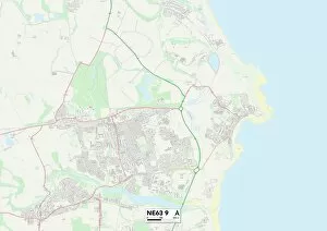
"Exploring the Scenic College Road: A Journey Through Diverse Landscapes" Embark on a captivating journey along College Road, as we traverse through various regions of Wolverhampton, North Hertfordshire, East Hertfordshire, Somerset, West Norfolk, Aylesbury Vale, Bracknell Forest, Enfield, Brighton and Hove. This road unveils an array of breathtaking landscapes that will leave you in awe. Starting from Wolverhampton WV6 8 Map and heading towards North Hertfordshire SG5 1 Map and East Hertfordshire SG13 7 Map areas; the picturesque countryside unfolds before your eyes. Rolling hills dotted with vibrant wildflowers create a serene atmosphere that is perfect for escaping the hustle and bustle of city life. As we continue our journey towards Somerset TA2 6 Map region; lush green meadows stretch as far as the eye can see. The tranquil beauty of this area invites you to take leisurely walks or simply bask in nature's embrace. Next up is West Norfolk PE33 9 Map where charming villages nestled amidst idyllic landscapes await exploration. Quaint cottages adorned with blooming gardens add to the charm of this region while providing a glimpse into traditional English countryside living. Heading southwards towards Aylesbury Vale HP22 5 Map brings us to rolling farmlands and expansive fields that showcase rural England at its finest. Here lies an opportunity to witness farmers tending their crops or spot grazing livestock against a backdrop of stunning vistas. Continuing our adventure through Bracknell Forest GU47 0 Map takes us deep into enchanting woodlands filled with ancient trees and hidden trails waiting to be discovered. Immerse yourself in nature's tranquility as sunlight filters through dense foliage creating mesmerizing patterns on the forest floor. The next leg leads us to Enfield EN2 0 Map where urban meets suburban.