
Chapel Street Collection (#4)
Chapel Street is a name that resonates with history and charm, as it appears in various locations across the United Kingdom


All Professionally Made to Order for Quick Shipping
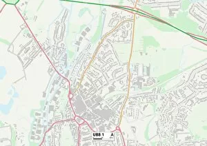
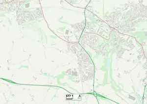
Chapel Street is a name that resonates with history and charm, as it appears in various locations across the United Kingdom. From Blaenau Gwent to Rhondda Cynon Taf, this street has left its mark on different communities. In Blaenau Gwent NP13 1, Chapel Street stands proudly on the map, serving as a central hub for residents. Its bustling atmosphere and vibrant shops make it a popular destination for locals and visitors alike. Moving over to Rhondda Cynon Taf CF40 2, Chapel Street takes us back in time to c. 1920 when Watlington was thriving. This vintage snapshot captures the essence of an era long gone but still cherished by those who remember. Further up north in Lancashire and Yorkshire Railway's Southport Chapel Street station, we witness stunning views from both inside and outside the cafe. The interior exudes warmth and comfort while the exterior showcases architectural beauty that transports us back to another time. Halton WA8 7 presents yet another chapter of Chapel Street's story. Nestled within this community, it serves as a lifeline connecting people with essential services and creating a sense of unity among residents. Wyre Forest DY11 6 adds its own touch to Chapel Street's legacy with its unique character and local businesses lining its path. Here, one can find hidden gems tucked away amidst picturesque surroundings. Rhondda Cynon Taf CF42 6 brings us back to Wales where Chapel Street continues to weave itself into the fabric of communities. Its presence symbolizes resilience and endurance throughout generations. As we journey through Wigan WN2 3 Map or BL Bolton BL3 1, we encounter more facets of Chapel Street's diversity. Each location tells its own tale through landmarks that have stood strong against the test of time.